Fosciandora has been a border territory several times in its history. It still is today, given that the south-east the border with Barga marks the end of Garfagnana and the beginning of the Media Valle del Serchio. During the Second World War, the same south-eastern border, shifted by a few hundred metres, represented one of the many passages of the Gothic Line; in the second half of 1944 Barga had been liberated and the allied troops were already present, while the Germans and fascists still raged in the territory of Fosciandora.
And yet for a certain period, an important border was within the Fosciandora territory. From 1451 and for more than three centuries, the border between the Duchy of Este and the Republic of Lucca ran here: Ceserana, La Villa, Migliano and Fosciandora were Este territories; while the villages of Lupinaia, Riana and Treppignana were under Lucca.
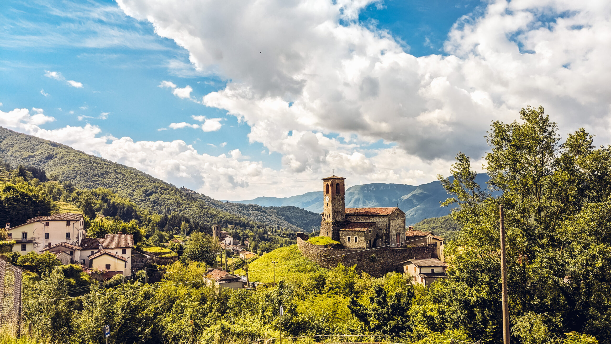
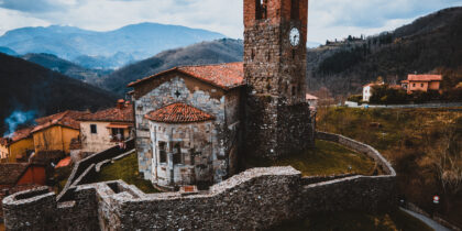
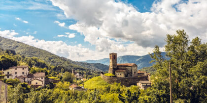
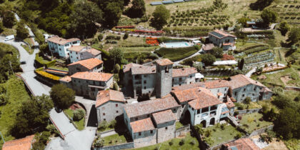
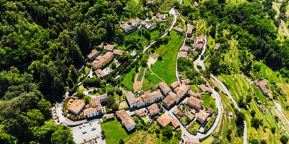
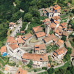
This loop retraces precisely the territory that once belonged to the Este family; it starts from Ponte di Ceserana (1), the current location of the railway station, and climbs along an ancient mule track (2), to the lower part of the ancient village of Ceserana, at the point called Fontana Salata (3). Ceserana is the central point of this walk, with the fortified Rocca and the Romanesque Church of S. Andrea (point zero); the inhabitants of Ceserana are known in the area for some funny stories that have been handed down in popular tradition for centuries. Near the northern access to the village you can see the entrance to a refuge, excavated right under the Rocca, used by the population during World War II to protect themselves from aerial bombardment (4).
The trail then leads to the village of La Villa with the Church dedicated to Santa Maria and the Baroni Park (5) . From this village, the roads also lead to the alpine part of the municipality of Fosciandora (6), in particular to the sylvan-pastoral village of Prade Garfagnine and the Saltello Pass.
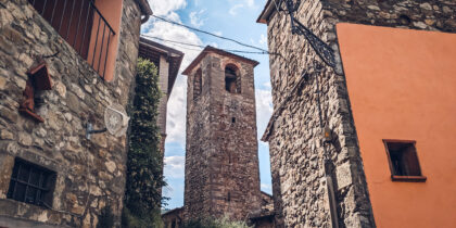
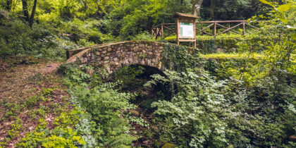
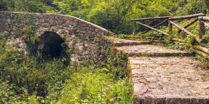
Our itinerary passes under the bell tower, skirting the stone farmhouse now housing the La Costa holiday farm, leading to the Ferraio houses (7) we then take the Grottalte path and, past two characteristic medieval bridges (8) (9), climb up to Fosciandora.
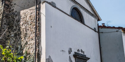
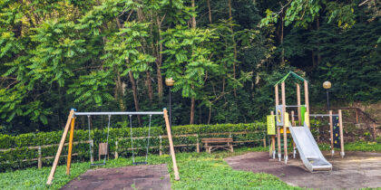
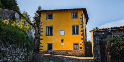
Here we find the Church dedicated to St. Sebastian, the municipality's patron saint (10) ; after a stop at Pieroni Park (11) we climb up to pass by the imposing structure of the manor house Villa Raffaelli (12), named after the most important family in the history of the area.
We travel through the inner part of the village of Fosciandora, descending to the Pucci Park car park (17)from where, if we wish, we can move in a south-easterly direction and join the other route Attraverso il Rimonio itinerary.
Remaining on our loop, we cross a stretch of Fosciandora and then descend rapidly along Via Carraia until we reach Migliano, site of the Parish Church of S. Michele (18); at this point, skirting the sports facilities, a short five-minute round trip takes us to the Sanctuary of the Madonna della Stella, one of the valley's main and historic centres of Marian worship.
From the Church of San Michele we descend to the new part of Migliano, the administrative centre of the municipality. Then an ancient path passing under the cemetery will take us back to Ceserana by entering through the south gate. (19).
