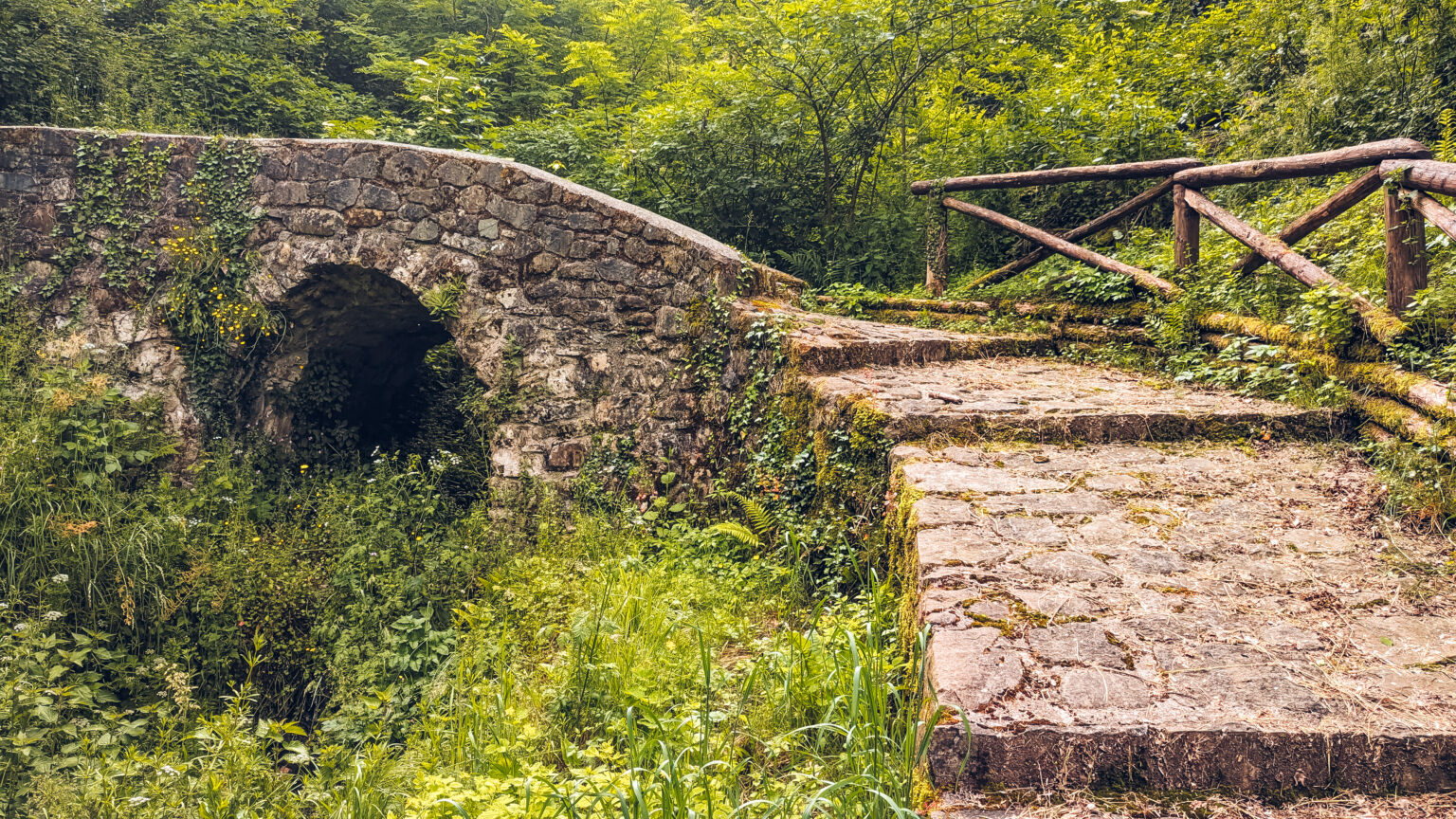
We are now entering in an impervious zone, characterized by rocky crags and cliffs (Grottalte o Grottelte in local toponymy) . Despite this, in the past this zone was very used for agricoltural purposes, thanks to its sunny exposure. Today it is almost totally abandoned apart for some small remaining olive cultivations. When agriculture was really a mean of survival, it was essential to cultivate every smaller piece of land, even that set on steep slopes. This was possible thanks to terracing, that allowed the cultivation of vines, olives, vegetables. The toponymy of some localities close to Grottelte derives from agricolture. For example, near here there is a locality known as “Trappetola”, this name derives from “trapetum”, a latin term attributable to the millstones of the ancient olive oil mills. Another wide zone is named Pasquetto, it derives form the pre-latin term “Compascuus”, that means common pasture. It was a piece of land shared by the population for the pasture of the animals. However, the “compasqua” were introduced in the pre-Roman period by the Liguri Apuani tribes, a population that inhabited this zone. Finally the names of the locality “Sorzali di Sopra” and “Sorzali di Sotto” derives from “Case Orzali”. This name probably referred to lands cultivated with barley (in italian orzo) and other cereals.