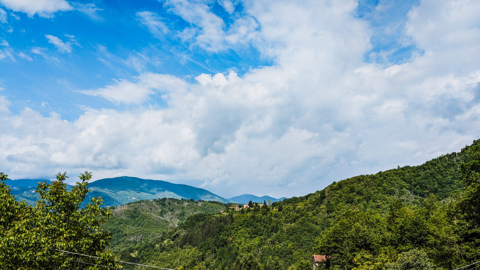
From this point the road currently leads to various mountain resorts and Fosciandora's “Alpeggio”. The most characteristic and well known area is Prade Garfagnana; it is a vast grassy plateau, at about 1000 m above sea level. Surrounded by forests of beech, hazel and chestnut trees, it was used in the past as a summer pasture. It still hosts many "capannelli", ie characteristic small dimensioned stone buildings used by the shepherds.
In the same direction also lead the ancient road to Saltello, the Appennine mountain pass presumably created during the roman colonization period. A few centuries later, around 600 a.c., the route gained a strategic role as one of the main roads used by the Bizantines to travel from the capital Ravenna to the Tyrrhenian sea port, they still possessed, of Luni. The “Saltello Road”, via different branches, connected various municipalities on the Tuscan side of the Appennine (Ceserana, Lupinaia, Barga and Castiglione di Garfagnana), with Pievepelago and Roccapelago in Frignano and with Modena. It was flanked by two “hospitali”, one of which, on the Garfagnana side, was San Bartolomeo. During the Estense rule the road maintained however an important role up until the second half of the XIXth century. This period saw the Saltello Pass crossed by many a different armies that were facing each other in Garfagnana. The Road also played an important economic role with the commercial exchanges between Emilia and Garfagnana. The best example is the transport of iron produced in the garfagnine ironworks, to the Este capital of Modena. With its loss of importance by the end of the XIXth century, the road is almost forgotten, if ever, used by hikers, shepherds, hunters and mushroom searchers.


